
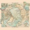
Old Mining Map – Placer Mining Areas In Northern California 1932 – This is an exquisite full-color Reproduction printed on high-quality gloss paper, art paper or canvas.
Print Size: 23.00 x 24.32 inches58.42 X 61.74cm
Sites and Townships Specific To This Map Are: Placer Mining is the mining of the alluvial deposits of minerals. This may be accomplished by open pit by various methods of tunneling into ancient riverbeds. The gold occurs in many different forms: In river channels, in basins & flats, as surface deposits of sand and gravel, pebbles and rocks of all sizes. The first discovery of major importance, that of James Marshall on Jan 24, 1848 on the American River at Coloma, California because of the lure and excitement of gold mining. Prospectors spread throughout the west and subsequently years many rich Placers were found in California. Trinity and Klamath River creeks circles depict areas of rich Placer deposits.
The following towns are featured: Sonora, Mariposa, San Andreas, Jackson, Placerville, Johnsville, Susanville, Merrillville, Red Rock, Terme, Ravendale, Marysville, Yuba City, Rio Oso, Santa Rosa, Sacramento, Stockton, San Jose, Redwood, San Francisco, Berkely, Oakland and many more.
SKU: CAPL0003
Original Maps are often difficult to find and usually have fold lines, identifying stamps or markings, tears, ragged edges, and assorted other natural signs of age that detract from their beauty. All of our maps have been professionally restored to depict their original beauty, while keeping all historical data intact.
These maps are fabulous pieces of history full of information useful to Historians, Genealogists, Cartographers, Relic Hunters, & Others. They make fascinating conversation pieces and splendid works of art for the home or office.
Be the first to review “Historic Mine Map – Northern California Placer Mining Areas – Bradley 1932 – 23 x 24 – Vintage Wall Art Find Great Cheap Online”
Related products
Office & School Supplies
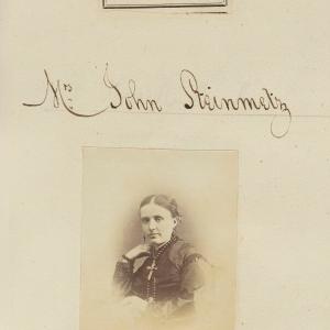
Ann Grace Steinmetz (ne Barron) Greetings Card Inexpensive For Sale
Office & School Supplies
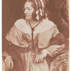
Anna Brownell Jameson (ne Murphy) Greetings Card Cheap High Quality
Office & School Supplies
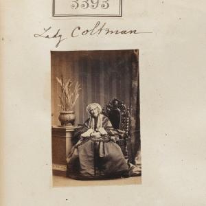
Anna (ne Duckworth), Lady Coltman Greetings Card Buy Cheap For Nice
Office & School Supplies
Reviews
There are no reviews yet.