
Old Oceania Map – Australia, Oceania – Brue 1826 – This is an exquisite full-color Reproduction printed on high-quality gloss paper, art paper or canvas.
Print Size: 23.00 x 30.90 inches58.42 X 78.48cm
The following towns are featured: New Holland, which includes New Zealand and New Guinea, plus many smaller islands. The coastal detail is exceptional with a large number of place names. The interior is virtually blank, but the regions of Terre de Gran, Baudin, Flinders, Nuyts, Leuwin, d’Edel, Dendracth, Witt, Van Diemen, d’Arnheim, and Carpentarie are labeled. An inset of the southeast coast titled Details d’une partie de la nouvelle Galles Meridionale illustrates the nine navisions proposed by Captain Vetch of the Royal Corps, with Brue’s attractive embossed stamp on the left. A decorative keyboard-style border surrounds the map.
This Map is Situated in: Australia and Australasia.
SKU: ITAU0018
Original Maps are often difficult to find and usually have fold lines, identifying stamps or markings, tears, ragged edges, and assorted other natural signs of age that detract from their beauty. All of our maps have been professionally restored to depict their original beauty, while keeping all historical data intact.
These maps are fabulous pieces of history full of information useful to Historians, Genealogists, Cartographers, Relic Hunters, & Others. They make fascinating conversation pieces and splendid works of art for the home or office.
Be the first to review “Historic Map – Australia – Brue 1826 – 23 x 30.90 – Vintage Wall Art Clearance 2025”
Related products

Office & School Supplies
Office & School Supplies
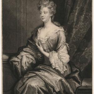
Anna (ne Allnutt), Lady Brassey Greetings Card Free Shipping Finishline
Office & School Supplies

Office & School Supplies
Reviews
There are no reviews yet.